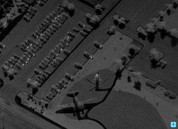
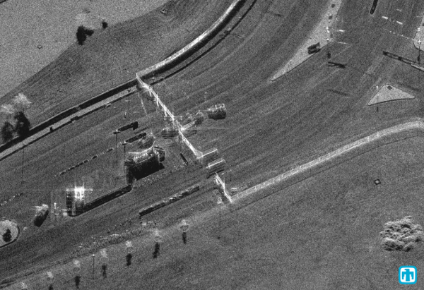
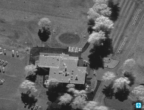
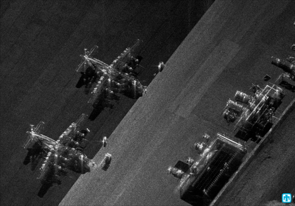
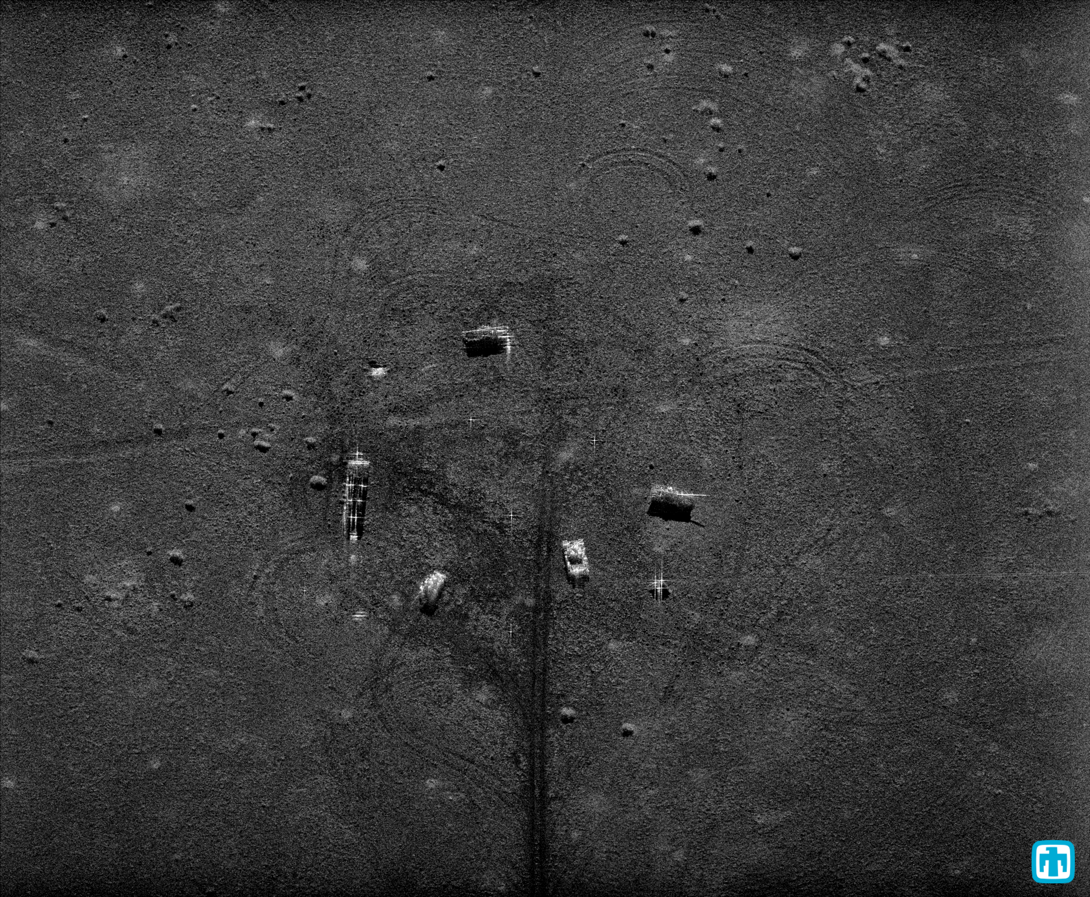
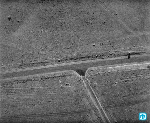
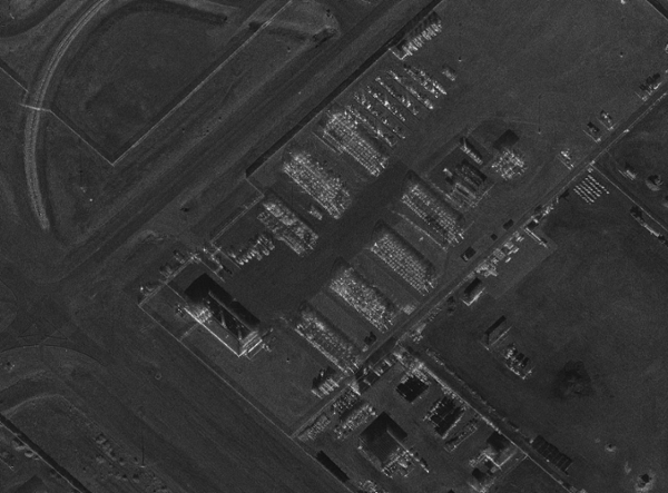
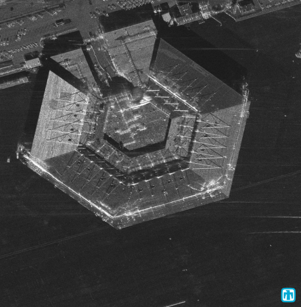
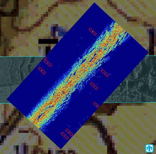
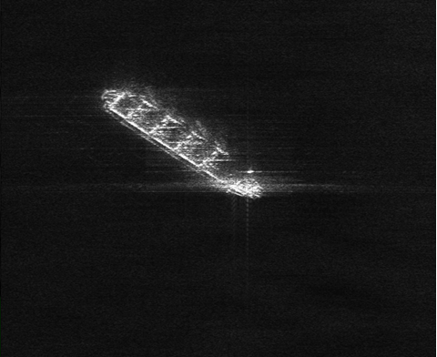
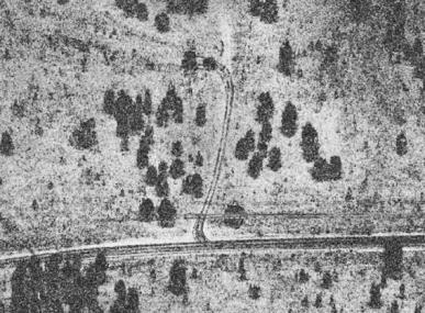
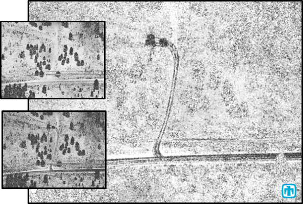
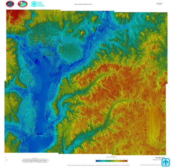
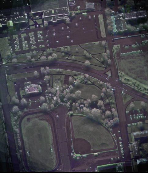
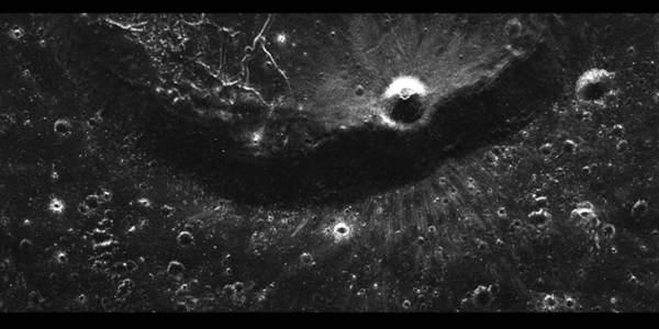
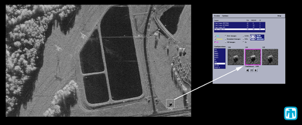
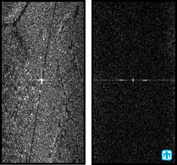
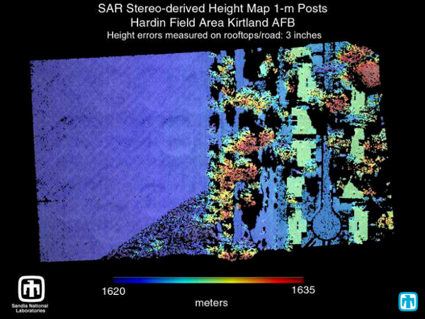
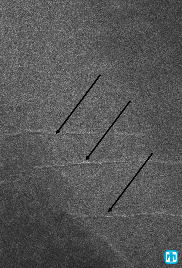
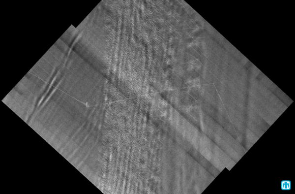
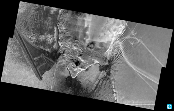
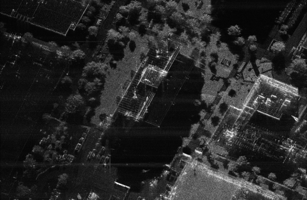
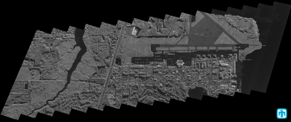
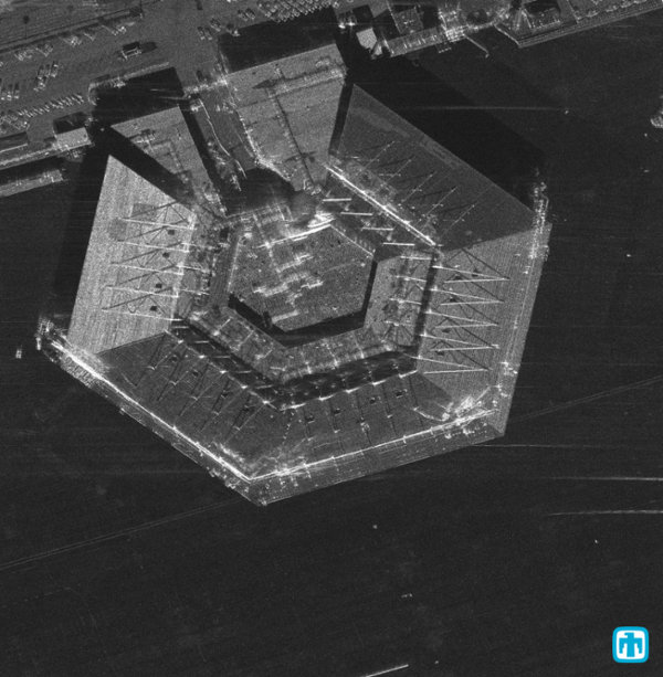
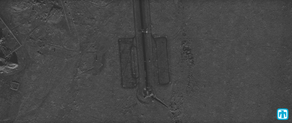
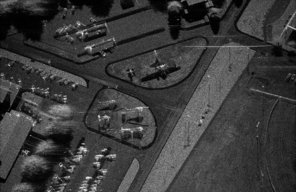
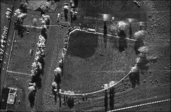
SAR Imagery
Sandia has collected and real-time processed over 400,000 synthetic aperture radar images.
The following is a selection of imagery available for your viewing, sorted by frequency band and/or program. (Note: Resolutions are for original images prior to downsampling for world wide web viewing.)
Images are available for public reproduction. Please credit Sandia using the following statement ‘Courtesy of Sandia National Laboratories, Radar ISR’
Click thumbnails below to enlarge images.
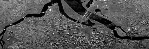
X-Band
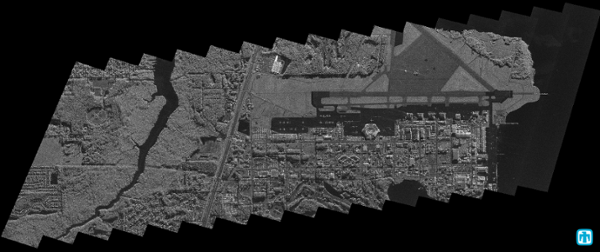
Ku-Band
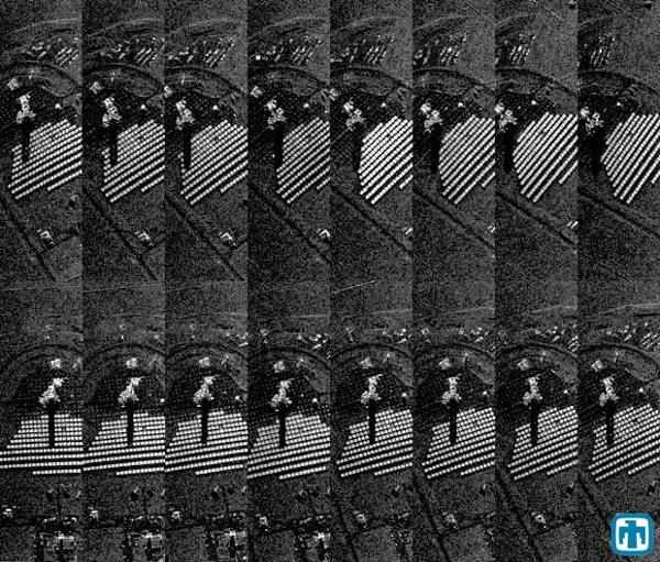
Ka-Band