Due to the harsh, remote, and vast Arctic environment, energy, transportation, communications, weather prediction, charting, and sensor technology, infrastructure, and services are not as reliable as in the continental United States. Sandia delivers essential science and technology for Arctic operations in keeping with our mission as a Department of Energy national laboratory and Federally Funded Research and Development Center.
What We Do
Sandia provides research and development related to Arctic communications, domain awareness, search and rescue operations, and environmental observation and forecasting.
Communications
The atmospheric conditions make communication difficult in the Arctic. The Arctic has a sparse and limited number of installations that allow defense-quality, high-speed communications. Sandia and USNORTHCOM have considered long-term and short-term methods to mitigate communication issues in the Arctic.
Maritime & Situational Domain Awareness
Sandia provides much-needed capabilities in the Arctic related to domain awareness.
- Presenting and forecasting atmospheric and ice conditions, via sensing and computer modeling.
- Determining physical processes within the Arctic to inform sensor requirements and computer model algorithms/parameterizations.
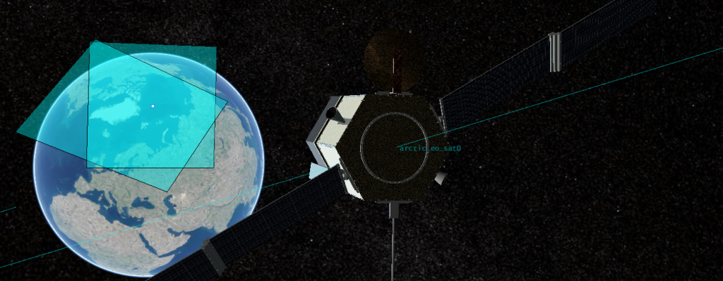
- Sandia’s expertise in terrestrial and space-based sensing can assist in continuous land and sea activity monitoring and for guiding field operations.
Search and Rescue Operations
- Sandia work often emphasizes uncertainty considerations that relate, for example, to adequate weather and ice forecasts, adequacy of response assets, and knowledge of human activity within the Arctic to aid rescue planning and decision-making about preparedness.
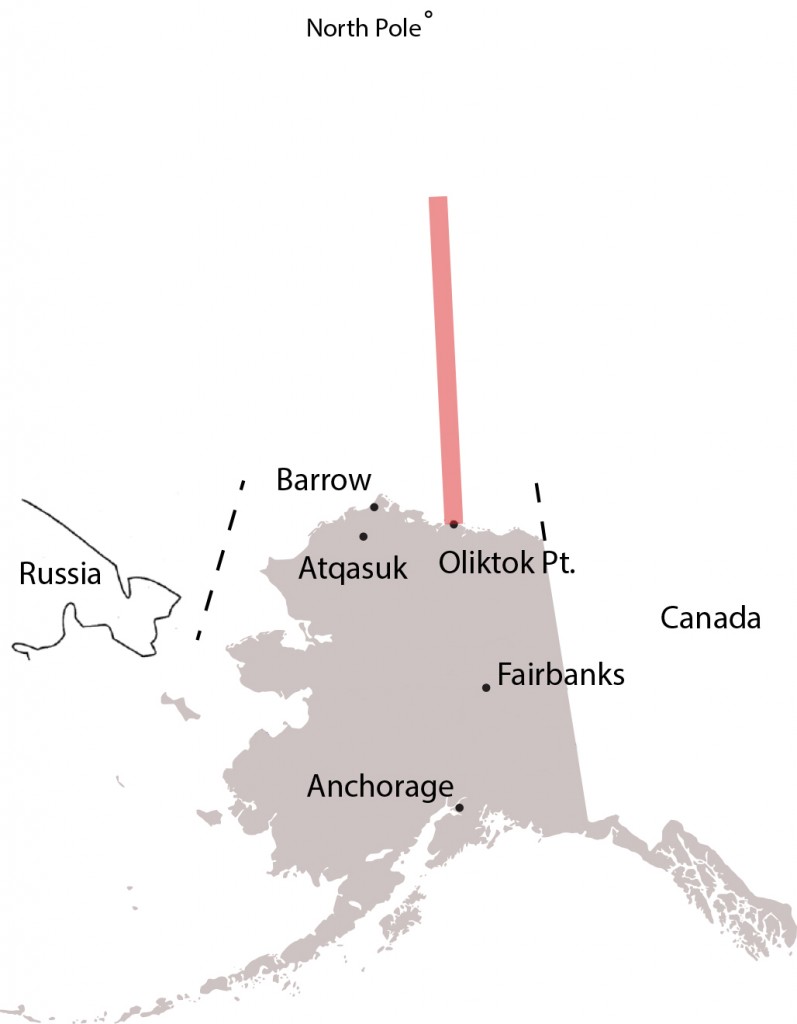
- Sandia’s experimentation with small UASs (unmanned aircraft systems) flying out of Oliktok Point, Alaska, could provide information that leads to a dramatic reduction in the number of monitoring stations necessary for making weather and ice forecasts that have adequate spatial and temporal coverage for Arctic operations.
- A Warning Area north of Oliktok Point provides protected space for Arctic researchers to practice search-and-rescue techniques at sea as well as track the northward movement of retreating sea ice, among other goals important to agencies and entities that operate in a changing Arctic.
Environmental Observation and Forecasting
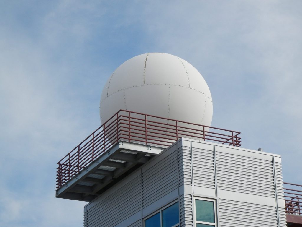
Maritime domain awareness is broadly concerned with operational conditions, but its scientific foundation is based on environmental observation and forecasting. The Sandia efforts in Barrow and Oliktok for the Atmospheric Radiation Measurement (ARM) program provide many valuable avenues for enhanced observations supporting improved forecast modeling.
Operations Infrastructure

Sandia can assist in the assessment of military and U.S. Coast Guard infrastructure vulnerability, resilience, and environmental constraints.
A new Warning Area protects Arctic researchers gathering data on clouds and atmospheric constituents, practicing search-and-rescue techniques at sea and tracking the northward movement of retreating sea ice, among other goals.
The first project to make use of the restricted airspace north of Oliktok Point was a Coast Guard Research and Development Center’s Arctic Technology Evaluation 2015 search-and-rescue exercise, a Cooperative Research and Development Agreement that involved the oil company ConocoPhillips and the Coast Guard Research and Development Center. Other partners included Insitu/Boeing, Era Helicopters, the National Oceanic and Atmospheric Administration and multiple operational Coast Guard units. All these entities worked with Sandia on a joint effort to improve interoperability between manned and unmanned aircraft systems (UAS), sometimes referred to as “drones,” for search and rescue operations.

